North American Renewables Map
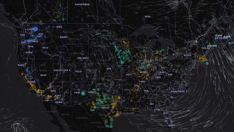
About 11,500 wind, solar, hydro and geothermal plants across the US and Canada, with each one's output this hour, estimated from the grid operators' reports and local weather. Updated hourly; play back two days.
Maps you can explore: zoom in, hover, and follow the stories behind the data. Made by Ridgeline Maps, a cartography studio in Edwards, Colorado.
About 11,500 wind, solar, hydro and geothermal plants across the US and Canada, with each one's output this hour, estimated from the grid operators' reports and local weather. Updated hourly; play back two days.
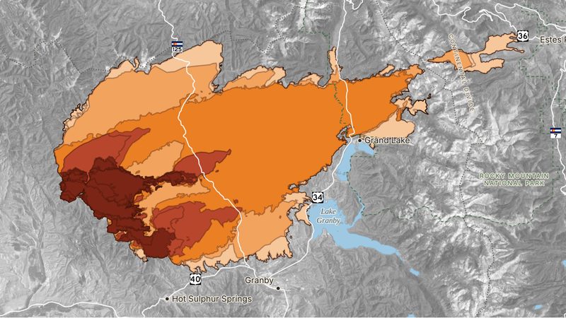
Play back all 14 mapped perimeters of Colorado's second-largest wildfire, including the night it burned about 87,000 acres and jumped the Continental Divide. Hover to see when each part burned.
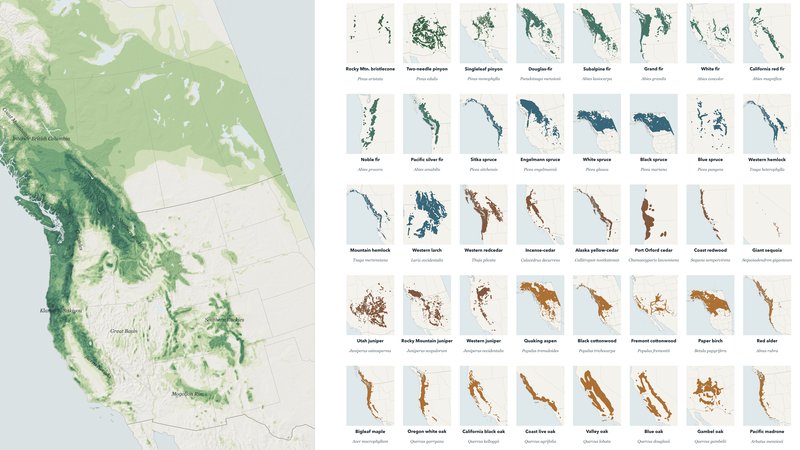
Fifty native trees from interior Alaska to the Mexican border. Pick species to see their ranges and where they meet, point anywhere to see which trees grow there, and play back 24 years of forest loss.
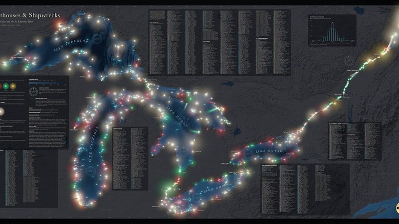
A night chart of 746 lighthouses and 920 shipwrecks from Duluth to Québec. Every light flashes its real pattern; hover any light or wreck for its story.
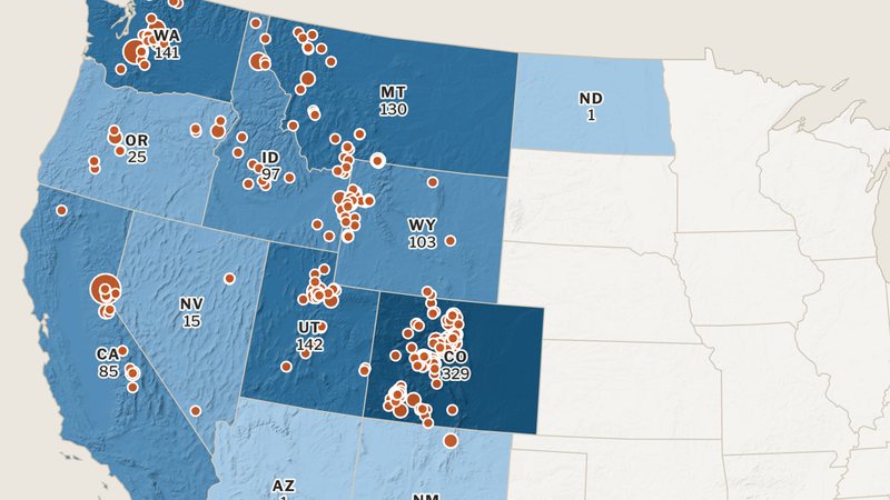
Every fatal avalanche on record since the winter of 1950–51: 1,278 people killed. Filter by winter, month, state or activity, and read the official accident report for 613 of them.
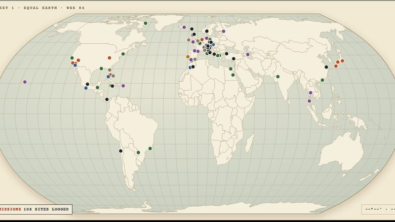
Where every Bond film was actually shot, from Jamaica in 1962 to the Faroe Islands in 2021: 108 real-world locations across 27 films. Pick a mission to trace its route.
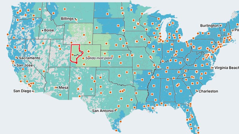
Hover over any ZIP code to see how many days USPS takes to deliver letters and packages to the rest of the country, how often it's on time, and where the mail plants are.
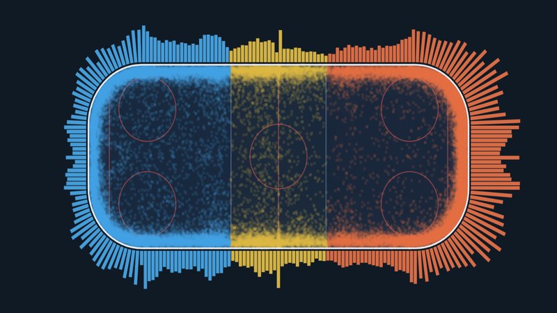
Where every NHL player grew up, the best shooter at every spot in the offensive zone, and how far north players were born since 1917. Built from NHL data.
Ridgeline Maps prints its charts as large-format wall maps, and makes custom maps for trails, events and places you love.